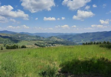
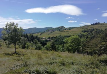
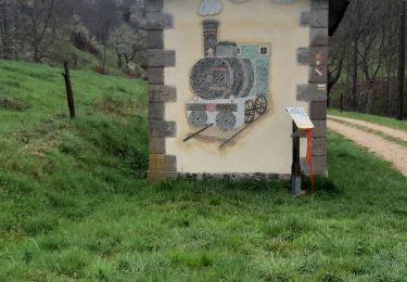
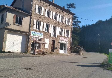
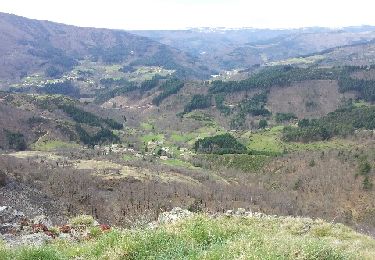
Randonnée Marche Le Cheylard - Boucle Le Cheylard - Château de Rochebonne - Saint-Martin - Photo

Boucle Le Cheylard - Château de Rochebonne - Saint-Martin

 pidjam
pidjam

Utilisateur

© OpenStreetMap contributors
Longueur
Longueur
21 km
Altitude max
Altitude max
823 m
Dénivelé positif
Dénivelé positif
660 m
Km-Effort
Km-Effort  
29 km
Altitude min
Altitude min
430 m
Dénivelé négatif
Dénivelé négatif
660 m
Boucle
Boucle
Oui
Date de création :
2022-06-14 09:11:04.011
Dernière modification :
2022-06-14 09:12:36.424

(0 Avis)

Marche
Marche
6h41
Difficulté : Très difficile

Scannez ce code QR pour ouvrir la randonnée dans l'application SityTrail

Application GPS de randonnée GRATUITE

Logo SityTrail SityTrail

IGN / Instituts géographiques

Télécharger SityTrail sur l'App Store Télécharger SityTrail sur Google Play

Logo SityTrail SityTrail World

Le monde est à vous

Télécharger SityTrail sur l'App Store Télécharger SityTrail sur Google Play Télécharger SityTrail sur Huawei AppGallery

À propos

Randonnée Marche de 21 km à découvrir à Auvergne-Rhône-Alpes, Ardèche, Le Cheylard. Cette randonnée est proposée par pidjam.

Profil altimétrique

Points d'intérêt

Point d'intérêt Le Cheylard - Route de Saint-Jean Roure - Photo
pidjam
Point d'intérêt Le Cheylard - L'Hoste - Photo
pidjam
LE CHEYLARD 
Point d'intérêt Le Cheylard - La Gardette - Photo
pidjam
LE CHEYLARD 
Point d'intérêt Le Cheylard - Châtaigneraie - Photo
pidjam
LE CHEYLARD 
Point d'intérêt Le Cheylard - Route de Maleval - Photo
pidjam
LE CHEYLARD 
Point d'intérêt Saint-Jean-Roure - Hameau de Maleval - Photo
pidjam
SAINT-JEAN-ROURE 
Point d'intérêt Saint-Martin-de-Valamas - Hameau de Darne Bessac - Photo
pidjam
SAINT-MARTIN-DE-VALAMAS 
Point d'intérêt Saint-Martin-de-Valamas - Hameau de Nant Paillez - Photo
pidjam
SAINT-MARTIN-DE-VALAMAS 
Point d'intérêt Saint-Martin-de-Valamas - Bifurcation avec GR® - Photo
pidjam
SAINT-MARTIN-DE-VALAMAS 
Point d'intérêt Saint-Martin-de-Valamas - Route des Blaches - Photo
pidjam
SAINT-MARTIN-DE-VALAMAS 
Point d'intérêt Saint-Martin-de-Valamas - Prendre à gauche - Photo
pidjam
SAINT-MARTIN-DE-VALAMAS 
Point d'intérêt Saint-Martin-de-Valamas - Dolce Via, à gauche - Photo
pidjam
SAINT-MARTIN-DE-VALAMAS 
Point d'intérêt Saint-Martin-de-Valamas - Lieu-dit la Condamine. Pont de l' - Photo
pidjam
SAINT-MARTIN-DE-VALAMAS 

Localisation

Pays :
France
Région :
Auvergne-Rhône-Alpes
Département/Province :
Ardèche
Commune :
Le Cheylard
Localité :
Unknown
Départ:(UTM)
612723 ; 4974288 (31T) N.

Randonnées à proximité

Randonnée Marche Mariac - Vallée des Tuiliers 14km - Photo
Marche
GUIDE
thonyc

Marche

Moyen
Mariac, Auvergne-Rhône-Alpes, Ardèche, France
15,6 km | 24 km-effort
6h 16min
Oui
Randonnée Marche Jaunac - Jaunac 10km - Photo
Marche
GUIDE
thonyc

Marche

Facile
Jaunac, Auvergne-Rhône-Alpes, Ardèche, France
9,3 km | 14 km-effort
4h 38min
Oui
Randonnée Marche Saint-Martin-de-Valamas - Le chemin du Brion - Photo
Marche
jdelettrez

Marche

Difficile
(1)
Saint-Martin-de-Valamas, Auvergne-Rhône-Alpes, Ardèche, France
11,8 km | 19,4 km-effort
3h 59min
Oui
Randonnée Marche Le Cheylard - 20250816 - Photo
Marche
GALIBER

Marche

Difficile
Le Cheylard, Auvergne-Rhône-Alpes, Ardèche, France
12,3 km | 16,9 km-effort
5h 20min
Non
Randonnée Marche Saint-Martin-de-Valamas - Saint-Martin-de-Valamas . De pierres et d'or - Photo
Marche
bernadette revoux

Marche

Difficile
Saint-Martin-de-Valamas, Auvergne-Rhône-Alpes, Ardèche, France
24 km | 39 km-effort
6h 53min
Oui
Randonnée Marche Belsentes - Nonières. Par les chemins de l'école Buisson-nière - Photo
Marche
bernadette revoux

Marche

Moyen
Belsentes, Auvergne-Rhône-Alpes, Ardèche, France
8,6 km | 14,2 km-effort
3h 20min
Oui
Randonnée Marche Le Cheylard - Randonnée Le cheylard - Saint-Agrève - Lac Devesset - Photo
Marche
voyageur_nature

Marche

Moyen
(2)
Le Cheylard, Auvergne-Rhône-Alpes, Ardèche, France
34 km | 45 km-effort
9h 55min
Non
Randonnée Marche Le Cheylard - Le Cheylard -> Saint Martin de Valamas - Photo
Marche
voyageur_nature

Marche

Très facile
Le Cheylard, Auvergne-Rhône-Alpes, Ardèche, France
17,4 km | 22 km-effort
5h 9min
Oui
Randonnée Course à pied Le Cheylard - la glorie rocher de brion - Photo
Course à pied
olivier4307

Course à pied

Difficile
Le Cheylard, Auvergne-Rhône-Alpes, Ardèche, France
8 km | 12,6 km-effort
1h 7min
Oui


Fermer
Mes abonnements